If you’ve got a Caribbean cruise on the calendar this week, the Atlantic just got a little more interesting. The National Hurricane Center is now tracking two separate systems. One of them has forecasters watching closely. It’s worth a few minutes of your attention before you finish packing.
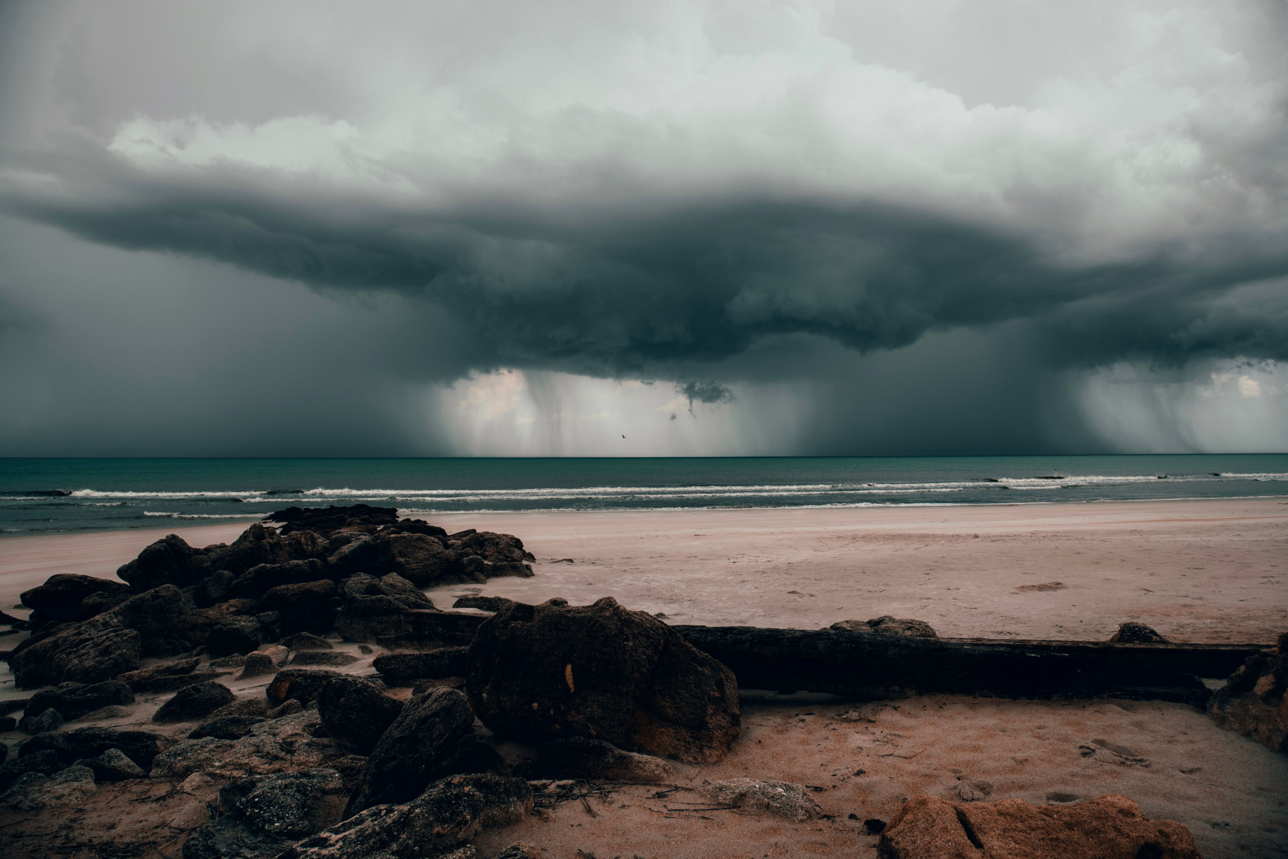
The system getting the most notice is Invest 92L, currently sitting about 1,000 miles east of the Lesser Antilles. The National Hurricane Center gives it an 80 percent chance of developing into a tropical depression within 48 hours. That same 80 percent holds over a full seven-day window too. In plain terms, forecasters expect this one to organize into something with a name relatively soon. The encouraging part is what happens next. Meteorologists expect the system to run into strong upper-level winds and dry air by late in the week. Those conditions tend to choke off tropical development rather than fuel it. So even with real strengthening likely in the short term, the storm’s window to become a serious threat looks narrow.
A second system, Invest 94L, is trailing farther back near the Cabo Verde Islands. It’s a much weaker bet right now. It carries just a 30 percent chance of development over 48 hours and 50 percent over a week. Tropical Depression Cristobal, meanwhile, has already been downgraded. It sits roughly 600 miles west of the Azores, well clear of typical Caribbean cruise routes.
So what does this actually mean if you’re sailing out of Miami, Fort Lauderdale, or Port Canaveral soon? Probably not much, and that’s not wishful thinking. August tends to produce two to three named Atlantic storms in a typical year. The ones that form tend to spin up in the southern Caribbean and Gulf of Mexico. Most mainstream cruise lines favor the more heavily traveled eastern Caribbean routes, which see far less of that activity. Historical data backs this up too. Late July and early August sailings see no significant weather disruption roughly 85 to 90 percent of the time. The odds are firmly in your favor.
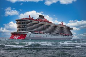
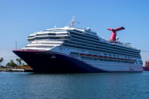
That said, cruise lines don’t take chances with passenger safety, and neither should you when it comes to expectations. Royal Caribbean, Carnival, and every major line monitor systems like Invest 92L continuously. They often adjust itineraries days in advance to route around developing weather. If your ship’s course changes, it’s rarely a last-minute scramble. It’s a deliberate decision made with plenty of lead time. Usually it means swapping one appealing port for another rather than canceling stops outright. Ships have skipped places like Bermuda before, swapping in Mexico or the western Caribbean instead. Most passengers barely notice the difference once they’re standing on a different, equally beautiful beach.
The best move for anyone sailing soon is simple. Check your cruise line’s app or website a day or two before departure. That’s typically when any itinerary tweaks get communicated. Pack a light rain layer just in case, even if the forecast looks clear right now. Tropical weather can shift faster than a five-day outlook suggests. And resist the urge to panic-Google the storm’s spaghetti models the night before you leave. Forecasters revise these tracks constantly. A system that looks concerning on Monday can fizzle by Thursday. That’s exactly what Invest 92L is expected to do once it hits that dry air.
Hurricane season runs through the end of November, so this won’t be the last system worth watching this year. But for now, the numbers still favor smooth sailing for anyone with a Caribbean cruise coming up. Keep an eye on it. Trust your cruise line’s judgment. And don’t let one blob on a weather map talk you out of a vacation you’ve planned for months.